


First satellite imagery made public to show new bridge development between China and North Korea
WASHINGTON D.C. – The new Yalu/Amnok River Bridge, launched at the end of 2010, is for the first time visible on Google Earth in a March 27, 2013 satellite image. Built entirely with Chinese support, when completed the new bridge will span nearly 1.5 kilometers linking south-western Dandong with Sinuiju, North Phyongan Province.
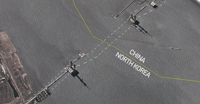
Satellite imagery showing construction of new suspension bridge underway crossing the Yalu river (Photo: Google Earth)
In 2012 China Daily’s English-Language Dandong page claimed that the main components of the bridge had been completed and that the bridge would go into operation in July 2014.
The March 2013 satellite imagery, however, reveals that quite a lot of work remains to be done (on both sides of the river) before the bridge can be safely crossed.
To date it appears that the Tower foundations have been set, and the towers largely completed, however, very little wok has been done on the deck of the bridge and the suspender and suspension cables (and anchors) have not been installed.
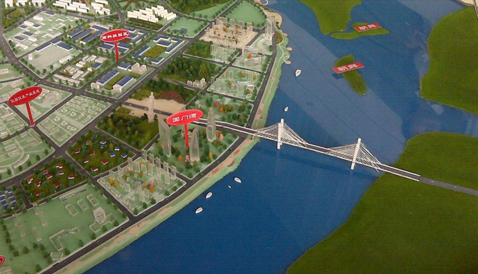
A model of the suspension bridge at the Dandong New City Zone Guomenwan exhibition centre.

Second view showing a model of the suspension bridge at the Dandong New City Zone Guomenwan exhibition centre.
Interestingly, it appears some of the delay in construction may be due to the fact that the bridge has been moved from the position it was originally intended to connect with Sinuiju, rather than neighboring Ryongchon County. Moving the Bridge has resulted in the need to do more preparation and road widening on the Chinese side:
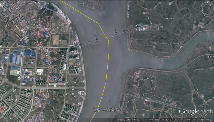
Satellite imagery showing original intended location of Yalu River bridge (Photo: Google Earth, modified by Curtis Melvin)
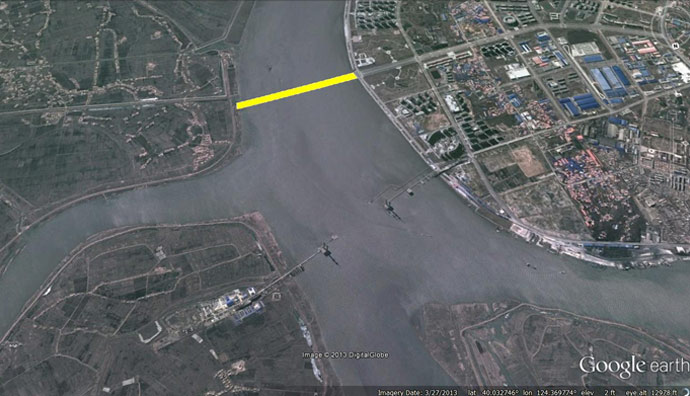
The movement of the bridge, so that it would connect Dandong and Sinuiju, has required the construction of a new widened road on the Chinese side. This road has a ways to go before it is completed:
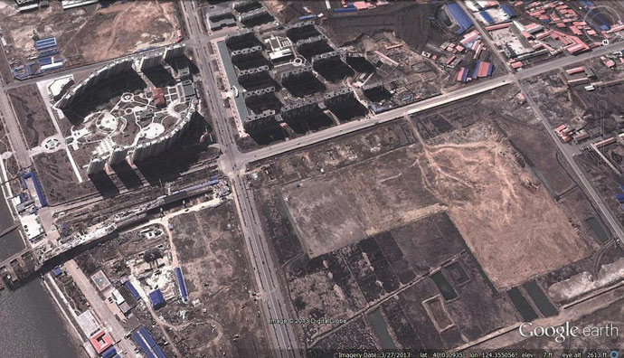
Image showing road in need of further development before bridge opens. (Photo: Google Earth)
On the North Korean side of the bridge, all progress seems to have been made between 2012-10-30 (when there were few signs of any construction at all) and 2013-3-27.
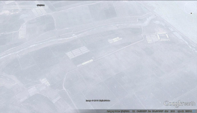
Historial satellite imagery showing North Korean side prior to development. (Photo: Google Earth)
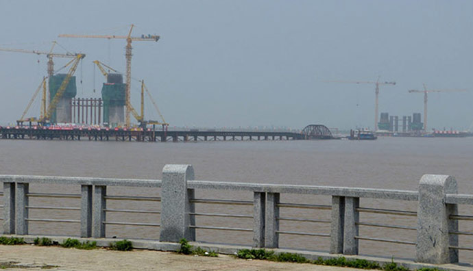
Photos taken by Chinese tourists show offshore platforms and construction underway:
And here’s an artist’s impression of the finished bridge:

Headline image: Google Earth, modified by James Pearson for NK News